
The micro watershed based participatory approach for land use planning is a systematic and interactive process that primarily focuses on the optimal allocation of village land resources according to needs and demands of the people while promoting sustainable land management. Key features of this approach are the multi-sectoral coordination, multi-stakeholder engagement and the active participation of land users throughout the participatory land use planning process.
The Sapugasulpatha/ Galayata Kandura micro watershed is located in the Bandarawela Divisional Secretariat (DS), Badulla District of Sri Lanka. Unsustainable land management practices have led to land degradation causing challenges for food security and poor economic returns for agriculture. Moreover, the shortage of water was aggravated by the “Uma Oya multi-purpose development project”. There was a need to identify strategies for the restoration of degraded lands while addressing water scarcity. In 2018, Rehabilitation of Degraded Agricultural Lands Project (RDALP) introduced Participatory Land Use Planning (PLUP) approach for this micro-watershed. Generally, stakeholders are used to acting in isolation to solve land use-related issues. But, the PLUP process relied on the active involvement of all stakeholders. Key features of the PLUP approach are; the promotion of micro-catchment level PLUP embedded with the multi-sectoral coordination and multi-stakeholder engagement throughout the process.
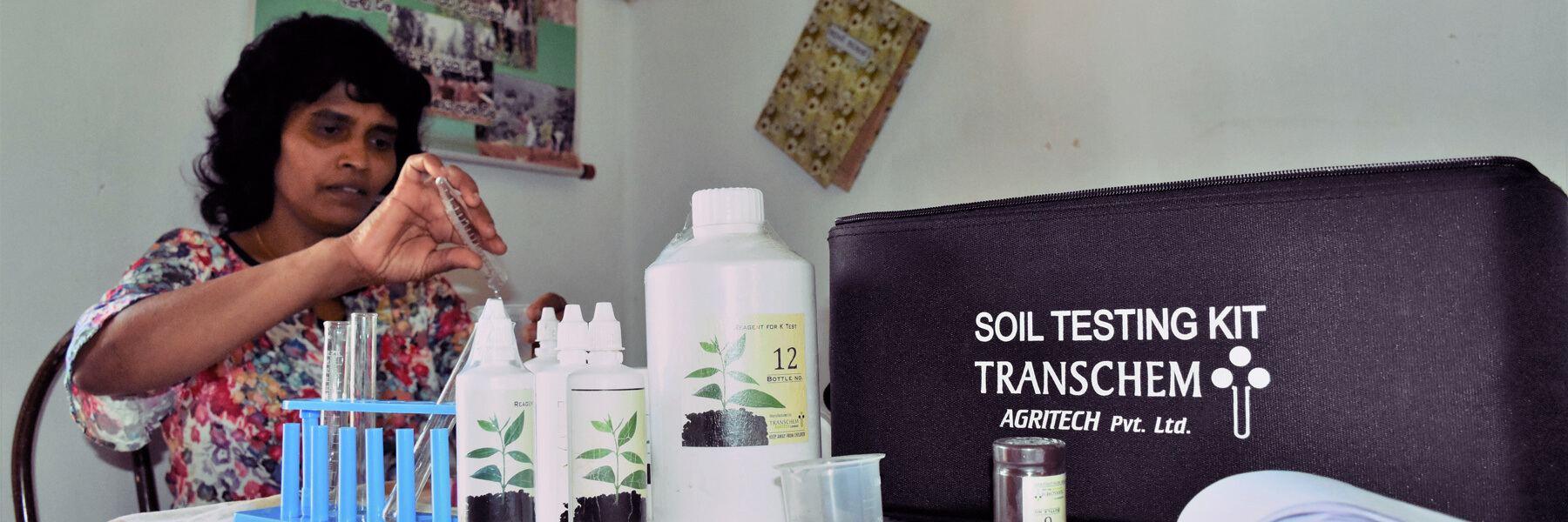
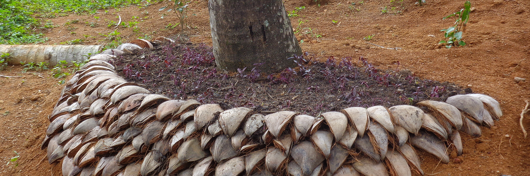
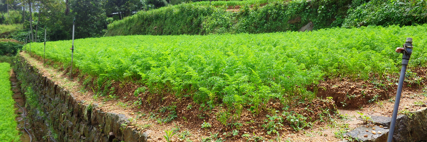
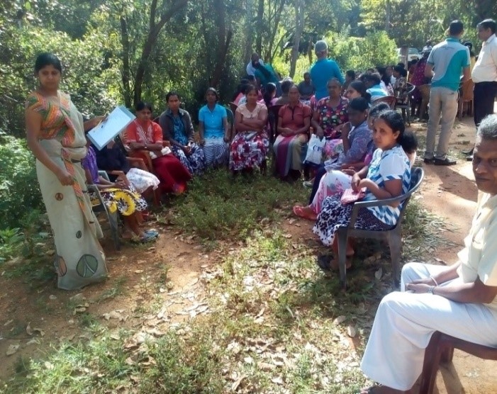
The process is initiated by the officers of the district office of the Land Use Policy Planning Department (LUPPD), the mandated entity for land use planning. Firstly, the LUPPD identifies micro watersheds in the area and develop land use/cover maps. This work is assisted by the Bandarawela DS, which is the administration body of lands of the area having the capacity of coordinating all relevant stakeholders involved in this process. Then officers of LUPPD conduct a meeting with community leaders, representatives of farmer organizations and field level officers to verify the land use maps through field visits. Further, demarcation of individual plots of lands on these maps is also carried out. Next, a field visit is conducted with the involvement of community leaders, representatives of farmer organizations, officers from LUPPD and field level officers to identify the status of land degradation and the nature of the crop management practices. This is a process of training of trainers leading to the identification of degraded lands in the micro watershed. Thus, later the community prepares maps of land degradation and management levels with the support of LUPPD. This is followed by participatory rural appraisal (comprehensive and lengthy meeting/s) with the participation of all individual stakeholders. In this process, issues related to land degradation/use, ownership, conflicts and socio-economic concerns, etc. are discussed. Further, all participants come to an initial consensus on feasible solutions. Subsequently, a detailed action plan is prepared to address these issues by identifying relevant stakeholders. The next stage involves the development of land use plan for the entire micro watershed targeting the restoration of degraded and poorly managed lands. The land use plan covers both on-farm and off-farm land use allocations and necessary recommendations for SLM practices sustaining overall land use within the micro watershed. This plan serves as a detailed land restoration plan. Then, detailed discussions are held with specific stakeholder’s representation different sectors to prepare sector based detailed plan for the micro watershed. This includes detailed plans for individual land areas of farmers, as an example officers of TSHDA provides the required inputs to prepare the detailed plan for small holder tea cultivation in the micro watershed which include plans for individual farmers. Subsequently, implementation of the restoration plan for individual farm is performed jointly by different stake holders. As an example if a farmers` land is identified for tea cultivation intercropped with export agricultural crops, officers both from TSHDA and Department of Export Agriculture extend their support for implementation. The approach includes farmer field schools conducted by Department of Agrarian Development officers (Extension officers and Agrarian Research and Production Assistant) and project officers of the RDALP project. Moreover, farmers are encouraged to use the social media (WhatsApp®) to share their knowledge and experiences on SLM practices. Local community is also exposed to real world examples of SLM through field visits.
Final step of this approach is evaluation and monitoring. This step was performed by the officers of Agrarian Service Development, RDALP and also by individual stakeholders. Further, divisional agricultural committee is supposed to perform continuous monitoring of the implementation process.
Compilers: Prof. W.A.U. Vitharana and Ms Sachinthika Ranawana, Department of Soil Science, Faculty of Agriculture, University of Peradeniya
Contributors : Mr. Nimal Gunasena – Project Manager, RADL Project, Mrs. Mangalika Karunarachchi - Agrarian Research and Production Assistant, Department of Agrarian Development and Mrs. W.M.Podimenike - Land user